Frisco, Texas, added indoor mapping of its city buildings in 2008 to improve emergency response, but it’s now using it for a range of benefits, according to an information technology expert who helped create the program.
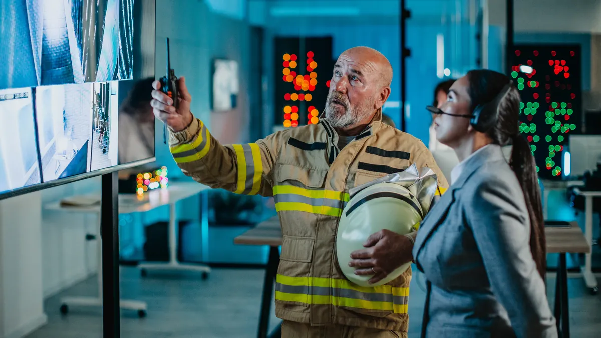
The Situational Awareness for Emergency Response, or SAFER, program was conceived as a way to provide first responders with school floor plans to better ensure the safety of students in emergencies. Built on a geographic information system foundation, it provides emergency responders, control staff and dispatch with a common operating picture that includes access to critical incident information at school buildings.
The system uses pre-plan documents for specific schools, including up-to-date contact information for administrations. Floor plans include visual data like room names and numbers, the location of nurses’ offices and administration areas, where hazardous chemicals are stored and roof access. It also integrates facility video cameras represented on floor plans with a hyperlink, enabling live video stream access, the city says on its website.
Implementation required significant work from the city’s IT team to perform hardware upgrades and installation, software development, integration development and the creation of training material and documentation, the city says.
As it began to see benefits from indoor mapping, the city expanded the program to other facilities, combining it with ArcGIS Field Maps and other ArcGIS technology from Esri, and now maintains real-time building data with complete indoor mapping of over 200 facilities. This includes hospitals, the corporate headquarters of the National Football League’s Dallas Cowboys, their mall and event venues.
“It integrates over 30 different disparate systems into one geospatial platform, so [emergency responders] have a really good view of what’s going on for emergency response,” Susan Benedicto, the city’s assistant director of information technology for geospatial solutions, told Facilities Dive. “But a lot of the data that we have can be used in other cases.”
For example, when someone within the city facilities department wanted to know where automated external defibrillators were located, “we built them a little app to collect that AED information. We took that same app and expanded it and used it for all of Fire [safety] to collect all the building information,” Benedicto said. Now, when there is a refresh cycle, facilities knows exactly where each one is so they can go straight to the device and perform maintenance that’s required, she said.
“We have a very strong GIS,” Benedicto said. “They use it for all things public works, stormwater, sewer. For city works, we have a work order management [system] that is geo-spatial … and all their work orders and service requests are assigned to our assets. We have GIS within all of our departments. We’re implementing a tree inventory program. We’ve got hundreds of apps that are available to the public and for our internal uses.”
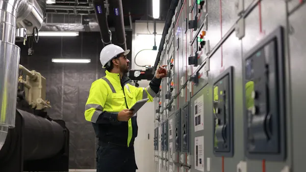
While the facilities department is in the process of changing their management system and not currently using GIS-based facilities management at this time, they do have the capabilities to track many building systems, including electric panels, water shut-offs, alarm panels and others that overlap with the fire department, she said.
Across the system, Benedicto says, the “secret sauce” to making the system work across all of its departments is partnerships. “You need to build a really strong partnership with whoever oversees the process and the project management. That’s what we do with city facilities and the school district,” she said. “Go meet with your building official, the fire department, the police department. Start with them to find out who’s the PM and get the information from them. It’s really about not being scared to go out there and talk with people.”